

A better way to manage your Spray season.
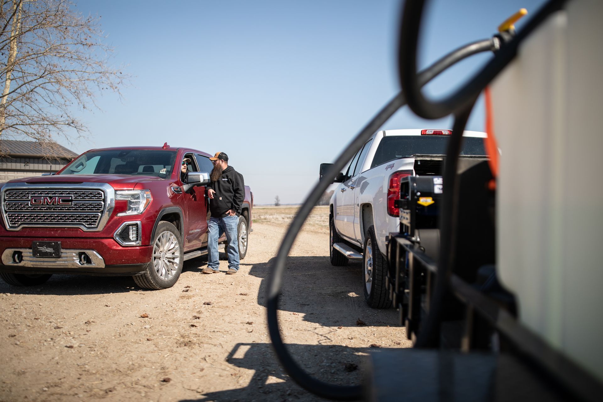
Spray season is hectic with last minute requests, unpredictable weather, logistics challenges, and sky-high customer expectations. Take control with AcreConnect™.


HOW DOES AcreConnect™ HELP MY BUSINESS?
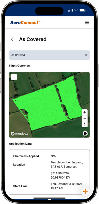
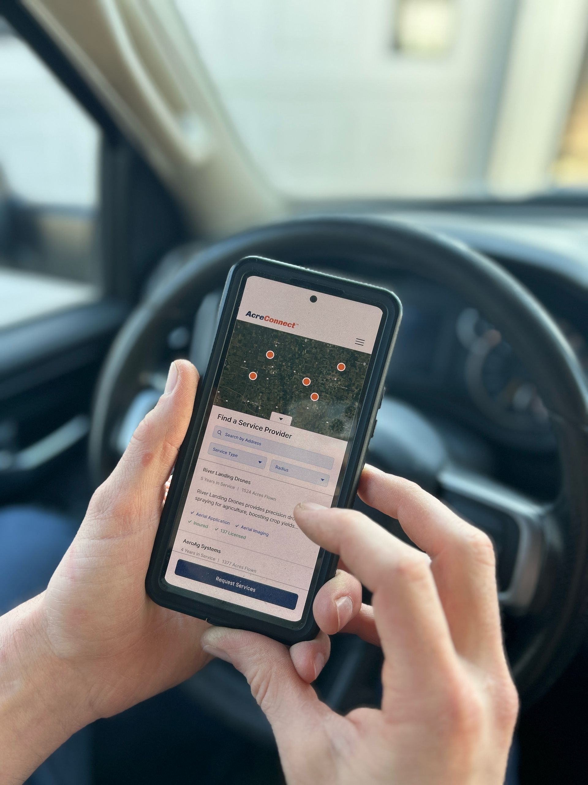
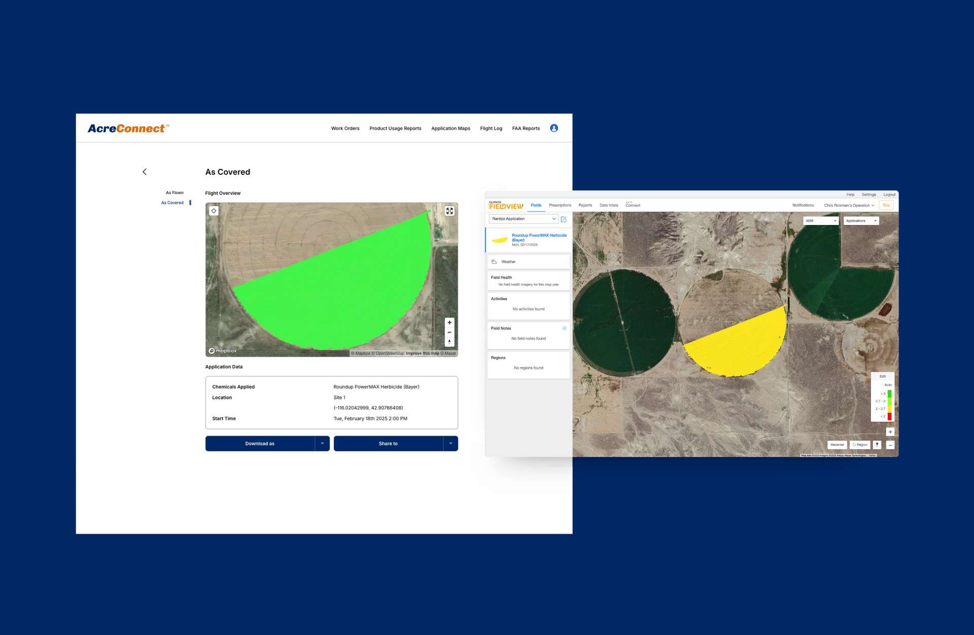
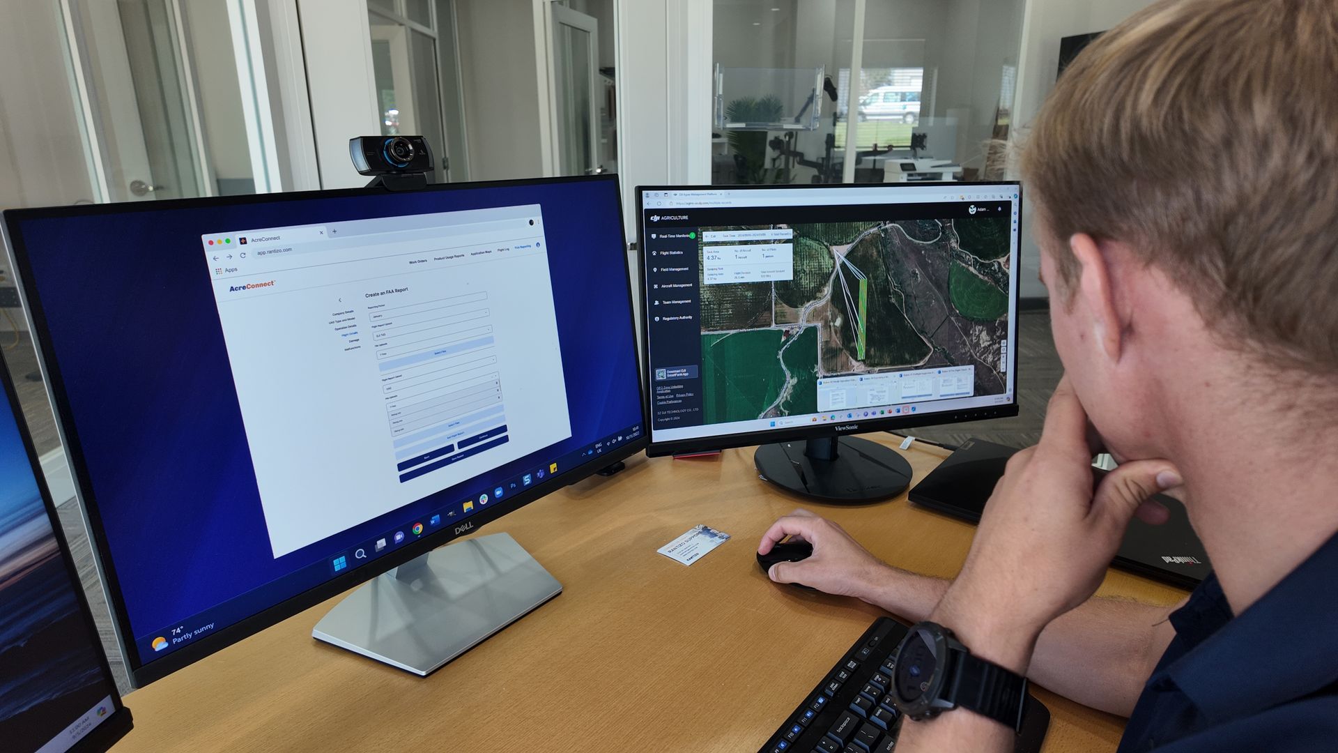
As an operator, you can't afford to slow down. Use AcreConnect™ software to manage your spray season – from job creation and flight log management to distribution of application maps, billing and FAA reporting.
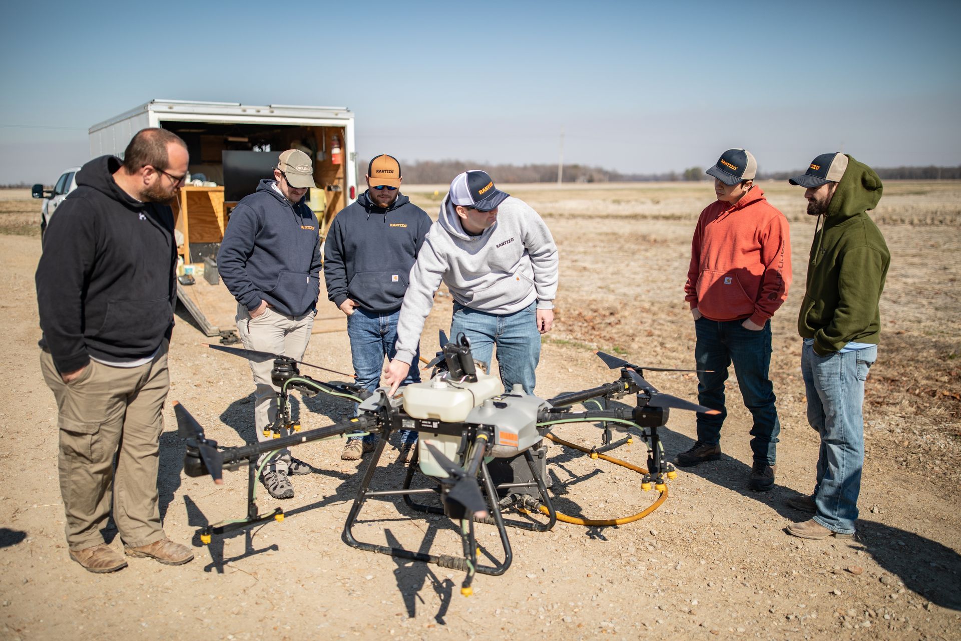
Keep your team organized and focused on spraying with a comprehensive view of your entire operation.
Deliver exceptional service that keeps your customers coming back season after season.
You already work long hours. Don't spend more time than necessary on paperwork and FAA reporting.
Spend more time flying and less time worrying about the business.
COMPARISON OF ACCOUNT TYPES
| FREE ACCOUNT | 30-DAY FREE TRIAL | PAID SUBSCRIPTION | |
|---|---|---|---|
| Service provider map profile | ✔ | ✔ | ✔ |
| Secure log file storage and management | ✔ | ✔ | ✔ |
| Application maps for XAG and DJI drones | ✖ | ✔ | ✔ |
| Connect to John Deere Operations Center™ | ✖ | ✔ | ✔ |
| Connect to Climate FieldView™ | ✖ | ✔ | ✔ |
| Job creation | ✖ | ✔ | ✔ |
| Product usage reports | ✖ | ✔ | ✔ |
| Invoice Assistant | ✖ | ✔ | ✔ |
| Assigning team members | ✖ | ✖ | ✔ |
| Monthly FAA reports | ✖ | ✖ | ✔ |
in the news
GET MORE AS A NETWORK OPERATOR
All software purchases make you eligible for these in-network operator benefits.
Looking for help?
We've moved our
AcreConnect™ FAQs to the new
Rantizo Knowledge Center, where you’ll find guides, troubleshooting tips, and answers to common questions.
Let's get started!
CREATE YOUR FrEE account
With your free AcreConnect™ account you get:
- Automatic enrollment in a 30-day free trial to try out the features before you buy
- Service provider map profile
- In-app onboarding tour and online chat tool
- Access to key features
- In-app demo videos of features like FAA reports
- Ability to securely store your flight logs for DJI and XAG drones
- Access our knowledge center, how-to videos and customer support
NO CREDIT CARD REQUIRED.
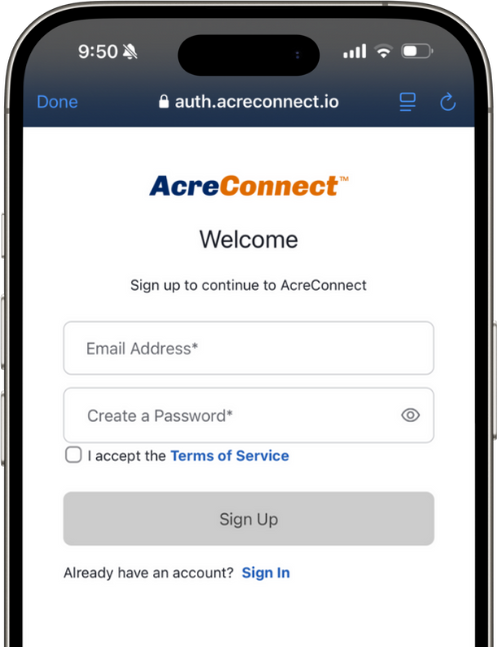
Getting started is easy:
- Visit acreconnect.io/signup
- Click "Sign Up".
- Enter your email address and a create a password.
1AcreConnect™ requires data connectivity.
2Invoice Assistant is not connected to or integrated within any payment software and will not calculate any applicable tax rates. Invoice Assistant is not intended to replace other invoicing systems but is designed to complement other billing systems you may have.
3AcreConnect™ is connected to John Deere Operations Center™ via John Deere APIs.